Dear visitor, welcome to WesWorld. If this is your first visit here, please read the Help. It explains in detail how this page works. To use all features of this page, you should consider registering. Please use the registration form, to register here or read more information about the registration process. If you are already registered, please login here.
Quoted
I've put capital cities for countries, as well as a few important locations like Phuket, and the Japanese bases in the Antarctic.
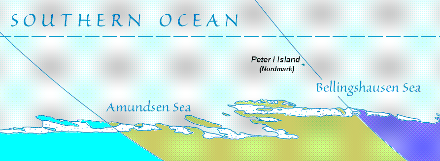
Also another minor detail, Atlantian Antartica includes all of the Antartic peninsula(unless this is disputed?)
Forum Software: Burning Board® Lite 2.1.2 pl 1, developed by WoltLab® GmbH

