Dear visitor, welcome to WesWorld. If this is your first visit here, please read the Help. It explains in detail how this page works. To use all features of this page, you should consider registering. Please use the registration form, to register here or read more information about the registration process. If you are already registered, please login here.
The board does show its limitations. It gives no search results for "map" and when I try to look at the posts of Red Admiral, it only shows me 1000 of them... :(
I think it might have been here...
http://wesworld.jk-clan.de/index.php?pag…D=6711#post6711
... but unfortunately the image is no longer available.
I got one hit on "Kotor" - a 1935 Russian news post (from 2008) in which The Canadian and AdmK are joking about building a ship railway between Kotor and Constanta.
If The Canadian was playing Yugoslavia back then, you probably have your answer.
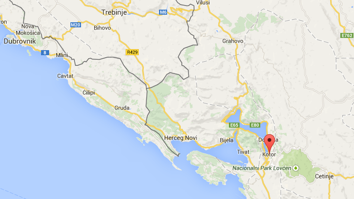
I'd say that the historical Croatia-Bosnia/Montenegrin border can probably be followed as the best approximation - until it becomes obvious that it diverges.
Both the Big Ass Map and the one Brock was referring to suggest that the border ends at Herceg Novi, probably done to keep things simple.
That would appear logical. Can that be adopted as a consensus?
Forum Software: Burning Board® Lite 2.1.2 pl 1, developed by WoltLab® GmbH

 in which The Canadian and AdmK are joking about building a ship railway between Kotor and Constanta.