Dear visitor, welcome to WesWorld. If this is your first visit here, please read the Help. It explains in detail how this page works. To use all features of this page, you should consider registering. Please use the registration form, to register here or read more information about the registration process. If you are already registered, please login here.
Quoted
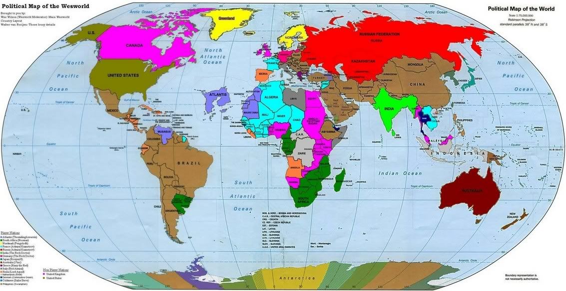
Australia - shouldn´t it be colored like GB? It´s back into the Comonwealth after all...
Originally posted by Rooijen10
What use are Belgium and Luxemburg? :-)
One of the jokes we Dutch have on the Belgians is "Why didn't the Belgian fleet sail out of the harbor during the war?"
 .
. Forum Software: Burning Board® Lite 2.1.2 pl 1, developed by WoltLab® GmbH
